Mount Seven
Golden, British ColumbiA
Type of Site: Mountain Thermic Site
Total Height: 1,021m

Mt. Seven is the crown-jewel of free-flight in Southeast British Columbia. This historic site is at the top of the famed Rocky Mountain Trench, and is the home for numerous Canadian XC records. Mt. Seven has been included in this website as it is a primary flying destination for many Alberta-based pilots.
This webpage is not a definitive guide to Mt. Seven, but will present as much information as possible for pilots looking to visit. For more detailed descriptions, please visit the links at the bottom of the page.
Access
The access road to Mt. 7 is located immediately south of the town of Golden. Turn off Highway 95 onto Reflection Lake Rd, then carry on to the gravel of Bowle-Evans Dr.
The condition of this forestry road changes month-to-month and year-to-year. Any SUV with some clearance and all-wheel-drive should make the drive without issue, and smaller cars have been known to make it to the top but there are no guarantees.
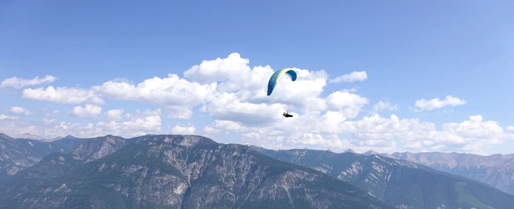
Launch
There are two different launches available at Mt. Seven:
The lower launch is the primary launch site. This “bald peak” sits at approximately 1,937m, and faces North, West & South. The North facing aspect is a grassy slope that can launch 2-3 gliders in quick succession. There are trees at the bottom of the slope which can snag errant pilots in katabatic conditions. The South aspect is much steeper and narrower, with room for only one glider at the time. The positive here is that you don’t have to run far to be airborne. The negative is that a tumble here would be painful. The hang glider ramp faces west and offers enough of a drop for no-wind HG launches.

The upper launch is beneath the summit of Mt. Seven, approximately a 45-minute hike above the lower launch. This is the “historic” launch of Mt. Seven, hosting numerous competitions in the 80s and 90s. The launch is a SW-facing gravel slope, offering space for numerous gliders to set up. There is a cliff-band beyond the slope, take care to abort well before it if you need to.

No matter where to launch from at Mt. Seven, take care to note the sky that you’re going to be flying into. This is a thermic mountain site, and the spring lapse rates can produce enormous climbs. A typical thermal can pull you up at 5m/s, and 12m/s is not uncommon. Be well aware of your own skills and your own limitations before taking off into conditions you’re not capable of handling.
Landing
Muller Flight Park

Before you fly at Golden, check in at the LZ to gain access to the site. The primary LZ is the Muller Flight Park at The Golden Riverfront Campground (872 McBeath Rd, Golden, BC V0A 1H2). A fee of $50 per season ($10 for a day pass) is being charged by the owners of the campground and can be paid in the office when you stop in to sign the required waiver.
Our continued use of Muller Flight Park as a landing zone depends on us respecting the following rules as per the website:
– an informed consent, assumption of risk, and waiver of liability form must be signed by all pilots, tandem instructors, tandem passengers and students before using the lands at the landing zone for any activity associated with the sport of hang gliding and paragliding.
– A signed acknowledgement of and agreement with the rules and regulations must be signed by tall pilots, tandem instructors, tandem passengers and students before entering or using the lands at the landing zone.
– all pilots and tandem instructors must have valid HPAC insurance.
Skyview ranch

Doug and Karen Keller have generously offered their land for use by pilots. The Skyview Ranch LZ is located on the south side of Nicholson along Canyon Creek Road. You can learn more about this site including rules, amenities, and site map at its website here.
There is a waiver that must be filled out prior to landing at Skyview Ranch. You can find it on the Skyview website or through this link:
Please take care to sign the proper waivers before flying. Realize that you are a guest at this site and treat it with respect.
There is a bailout available at the gravel pit adjacent to Reflection Lake. If you find yourself pinned in south valley wind, land here instead of struggling back to Skyview. Landing in the railyard IS NOT permitted, and you don’t want to join the growing list of pilots whom have landed in the swamp.
Airspace
There are no immediate airspace concerns above Mt. Seven (at least at elevations you should be concerned with. Pilots looking to head south should consult their VFR charts beforehand, as anyone making the long journey will encounter class E airways along the way.
Abridged XC Guide
Mt. Seven is an XC mecca. The Rocky Mountain Trench offers an endless chain of peaks to fly from Golden, all the way to the American border. This page will not coach you through the whole journey, but will offer you some tips when it comes to escaping Mt. Seven.
When you take off, your first goal is to get above launch. Taking off to the North, there is a common house thermal a few hundred meters down the ridge at “The Towers.” This small series of steel towers is a trigger for hot air coming up the Northern spine.
If the towers are not working, your next available option is the bare rock bands at “The Humps.” These prominent features are well below launch, and are the home to somewhat reliable lift. Do your best to keep high, and don’t waste height surfing over the terrain.
If “The Humps” aren’t working, your last chance is to head south to “Loser’s Ridge”. This cliff band sits underneath the main summit, and can produce lift all the way back to the summit. If you can’t find anything here, head to the bottom and take a lift back up.
If you do get above launch, your goal should be to work along the summit ridge before making your way to the summit of Mt. Seven. Don’t shortcut over the bowl as you’re only likely to find sink. The summit itself offers some of the rowdiest (and most rewarding) thermals on the whole mountain. Stick around here until you can find at least 10,000ft, and then head comfortably south to Pagliaro. The typical journey south for pilots is to follow the highway while they travel along the mountain ridge. While Canal Flats is the common goal-in-mind for pilots, in recent years we have seen flights going even farther south and also off to the east across the ranges. Don’t be surprised if you’re driving on highway 40 and see Will Gadd on the side of the road looking for a drive!
Site Amenities
The Golden Riverfront Campground offers camping sites for tents, trailers, and even has a few yurts. There are washrooms with full plumbing, and the office where you can stock up on either sun-screen or snacks.
Site Weather Links
Launch
Landing
Forecasts
CanadaRASP Windgram